
Page 46 - QUANGNINH ECONOMIC ZONE AUTHORITY
P. 46
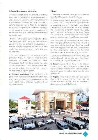
5. Spatial development orientation            7. Road:
           - The space along National Route No. 18C and Hoang   - Connecting to National Route No. 18 via National
           Mo – Dong Van primary route shall be developed into   Route No. 18C at a point about 40 km away.
           urban areas and functional subdivisions, to become   In addition to that there is also provincial route No.
           a  concentrated  constructuion  zone.  Industrial  –   341, Dong Van – Quang Ha route (upgraded onto
           commercial centers (non-tariff) shall be formed along   provincial route to connect Hai Ha, Ha Long – Mong
           Hoanh Mo – Dong Van route; combined commercial   Cai highway, National Route No. 18A, its scale meets
           service areas shall be constructed in attachment to   the requirements of level-IV mountainous road),
           Hoanh Mo border gate, Hoanh Mo center and Dong   border corridor (along Bac Luan – Bac Son – Quang
           Van border gate.                              Son – Dong Tam – Vo Ngai direction connecting to
                                                         Lang Son province, level-V road), border patrol road.
           - The low – hill region adjacent to Hoanh Mo – Dong
           Tam, Dong Van – Khe Tien routes, low land funds   - Urban transport: Central main road connects Hoanh
                                                         Mo border gate with National Route No. 18C with a
           adjacent to the concentrated construction zone   cross section of 40m, Hoanh Mo – Dong Van central
           shall be arranged with production areas under farm   main road: upgrade of current road’s cross section
           model, they also act as reserve area for long-term   to 40m, inter-regional roads linking functional
           development.                                  subdivisions have a cross section of 20.5 m – 26 m.

           -  The high mountain ranges are covered with   - About 280 km from Center of Hanoi City; About 80
           protection forest, in order to preserve natural   km from Mong Cai International Border Gate; About
           landscapes, to create  sustainable  eco  frame.   40 km from Bac Phong Sinh Border Gate.
           Undeveloped  land has steep slopes, the areas   8. Seaport: About 45 km from Hai Ha seaport
           adjacent to protection forest are tightly controlled,   (Capacity: 30-45 million tons/year, it is expected to
           construction activities there are restricted in order to   approve vessels whose gross ton is up to 80,000 DWT
           create a continuous green system.             to anchor); About 134 km from Cai Lan port (Ha Long,
           6.  Fuctional  subdivions: Being divided into 03   Quang Ninh).
           zones which are the concentrated construction zone,   9.  Airport: About 100 km from  Van Don airport
           integrated agriculture and forestry development and   (Quang Ninh); About 270 km from Noi Bai
           reserve zone, natural landscape management and   international airport (Hanoi); About 160 km from Cat
           conservation zone.                            Bi international airport (Hai Phong).


                                                                  Economic Zones of Quang Ninh Province  43